 Photo: NOAA
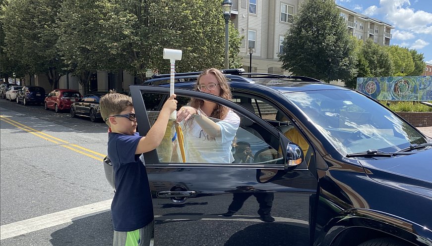
In over a dozen US cities this past summer, nearly 800 volunteers took part in a US-wide effort to map of the urban heat island effect, which causes urban air temperatures to be significantly higher than in nearby rural areas. The initiative, conducted by the National Oceanic and Atmospheric Administration (NOAA) across over 60 cities since 2017, prompts people in to collect data by simply driving or biking along designated routes with sensors hanging from their car windows or bikes to measure air temperatures and humidity levels. Each city's collection often takes place over a single day, with measurements collected in the morning, afternoon, and evening on the same route. Previous years' findings have already led to tree-panting initiatives in Honolulu and Cininnati, as well as the implementation of heat-reflecting technology in Raleigh, North Carolina. Findings also create awareness of socioeconomic disparities, such as how poorer neighborhoods tend to be hotter than wealthier, tree-lined ones. In the summer of 2022, NOAA gathered more than 1 million measurements over 16 days, covering more than 2,300 square miles, thanks to an army of citizen scientists.
|
|


More: